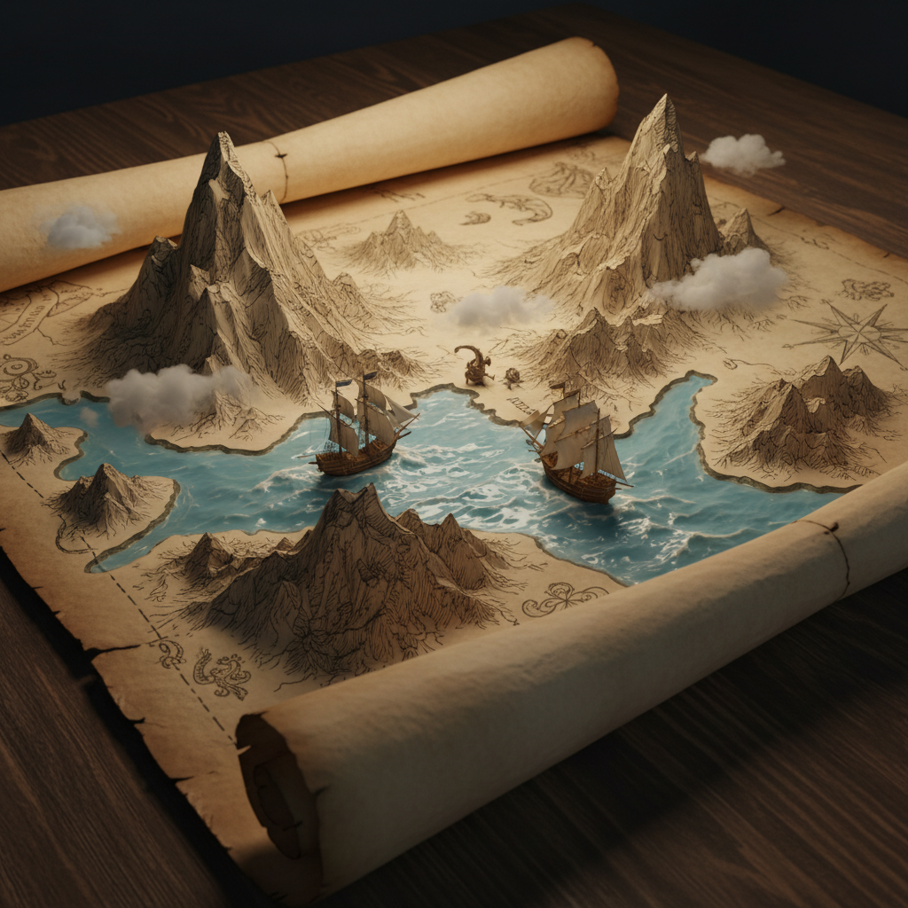
An ancient, weathered map unrolls on a dark oak table, captured in the midst of coming to life. Hand-drawn mountain ranges rise as three-dimensional peaks, while painted blue ink of the oceans ripples with fluid dynamics, carrying miniature galleons across the parchment surface, all illuminated by warm, intimate candlelight.
[Illustrations] The Living Atlas: Parchment Topography - A mesmerizing digital illustration blending vintage fantasy cartography with magical realism. An ancient, weathered map unrolled on a dark oak table is captured in the midst of coming to life. The hand-drawn Sepia-toned mountain ranges rise from the paper as three-dimensional, jagged peaks, while the painted blue ink of the oceans ripples with actual fluid dynamics, carrying miniature, detailed galleons with billowing sails across the parchment surface. Wisps of low-hanging cloud drift over the paper terrain. The lighting is warm and intimate, evocative of candlelight, highlighting the rough, fibrous grain of the aged paper and the glistening, wet texture of the living sea. The artistic style merges the intricate linework of 17th-century etching with the depth and lighting of a high-fidelity diorama.